Pennsylvania Canal Maps
Map Book #13
|
Please
select a map tile to view larger version (individual tiles are PDF
files, approximately 1-2 MB in size)
|
|
Book 13, page 00 Index. (1 section) |
|
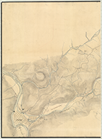
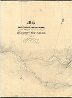
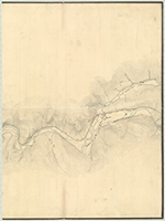
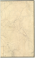
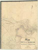
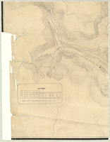
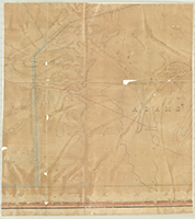
Book 13, page 01 "Map of Road to Avoid Inclined Planes (From Johnstown to vicinity of Plane No. 2), on the Allegheny Portage R.R. as Located by Robert Faries," C. E., n.d. Theoe. Franks. (4 sections) |
 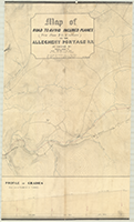   |
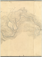
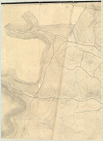
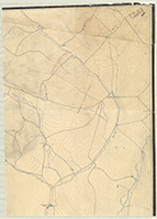
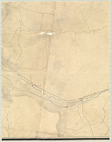
Book 13, page 02 "Map of Road to Avoid Inclined Planes (From Plane 2 to 6 inclusive), on the Allegheny Poertage R.R. as Located by Robert Faries, C. E.," n.d. T. Franks. Shows: Penna. R.R., Allegheny Portage R.R., Profile of Grades. (4 sections) |
     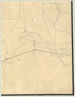 |
Book 13, page 03 "Map of Road to Avoid Inclined Planes on the Allegheny Portage R.R. From the Tunnel (at Summit) to Duncansville as Surveyed by R. Faries, C.E.," n.d. Theo. Franks. (6 sections) |
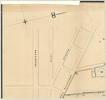 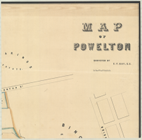 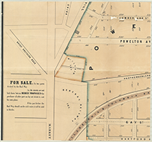 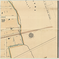 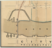 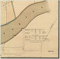 |
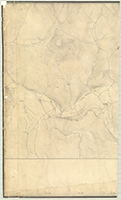
Book 13, page 04 "Map of Powelton," Surveyed by E. F. Gay, C.E., n.d. Lith. of Wagner & McGuigan No. 4 Franklin Place, Phila. June 1850. D. Morris, Acting. (6 sections) |
 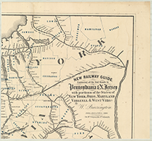 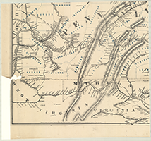 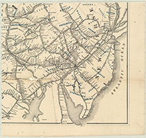 |
Book 13, page 05 "New Railway Guide Containing all the Rail Roads in Pennsylvania & N. Jersey with portions of the States of New York, Ohio, Maryland, Virginia & West Virga." By W. Barrington. Philadelphia, 1866. Jas. McGuigan, Lith. 3rd & Dock St." Entered according to Act of Congress in the year 1863 by Jacob M. Duncan in the Clerks Office of the District Court of the Eastern District of Pennsylvania. (4 sections) |
  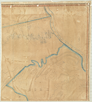   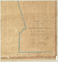 |
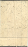
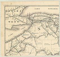
Book 13, page 06 "Map." The Leveling and Survey of the Susquehanna and Potomac Canal Made under the direction of the Canal Commissioners of Pennsylvania By John Mitchell, 1826. (6 sections) |