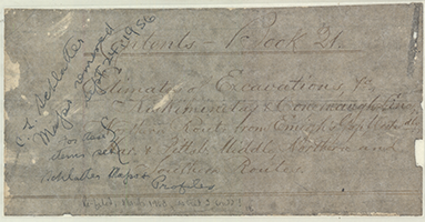
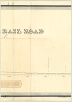
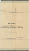
Pennsylvania Canal Maps
Map Book #21
|
Please
select a map tile to view larger version (individual tiles are PDF
files, approximately 1-2 MB in size)
|
|
Book 21, page 00 Index. (1 section) |
    |
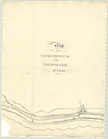
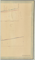
Book 21, page a [Map, Profile and Estimates for grubbing, of the Kiskiminetas and Conemaugh Line, Sections No. 27 to No. 52], n.d. (4 sections) |
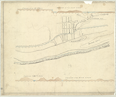 |
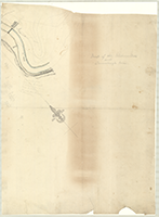
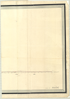
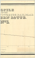
Book 21, page b [Map and Profile of the East and West Lines for a Canal entering Pittsburgh], n.d. Attributed to N. S. Roberts, c.1826. (1 section) |
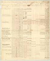 |
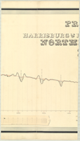
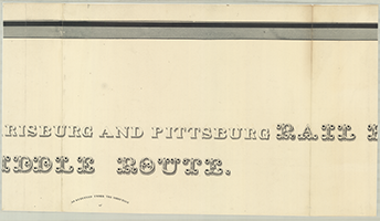
Book 21, page c-1 "Table containing the Results of the Estimates of the Harrisburg and Pittsburg Rail Road, Middle Route, from Pittsburg to near the Forks of the Black Lick," n.d. (1 section) |
   |
Book 21, page c-2 [Map, in pencil, for Middle Route, Kishacoquillas Divisions, Station No. 1965 to No. 2162], n.d. Beginning at Station 1965 to beyond Allenville, Station No. 2162. (3 sections) |
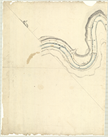 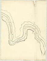  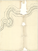 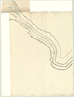  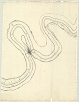 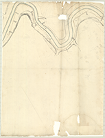  |
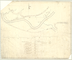
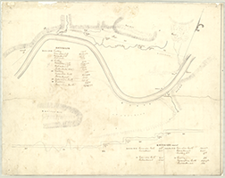
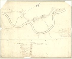
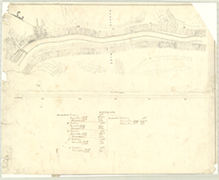
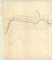
Book 21, page d "Map of the Kiskeminetas and Conemaugh Rivers" [Lines], n.d. (9 sections) |
 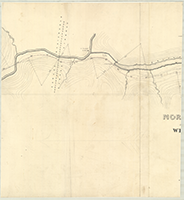 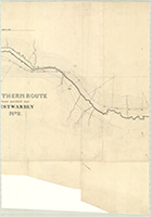  |
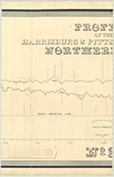
Book 21, page e "Northern Route From Emigh's Gap Westwardly. No. 2," n.d. [Harrisburg and Pittsburg Rail Road]. (4 sections) |
  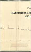 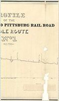 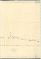 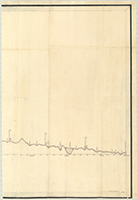 |
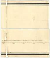
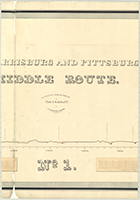
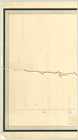
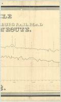
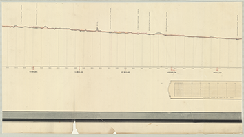
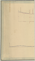
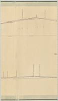
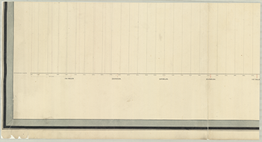
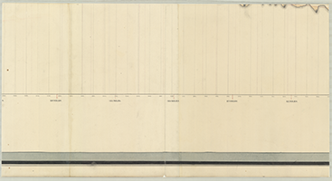
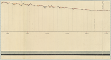
Book 21, page f "Profile of the Harrisburg and Pittsburg Rail Road, Middle Route, No. 1." Charles L. Schlatter, Principal Engineer. S. Moylan Fox, Princ: Asst. Engineer. Drawn by Strickland Kneass, 1840. From Summit of South Burgoon's Gap, 1 mile to End of Section No. 18, 19.88 miles. (6 sections) |
  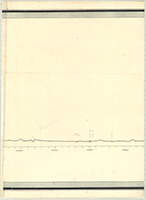  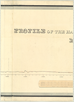   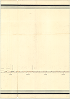    |
Book 21, page g "Profile of the Harrisburg and Pittsburg Rail Road, Middle Route, No. 1." As Surveyed under the Direction of Charles L. Schlatter, C. E. By J. Clements Stocker, Principal Assistant Engineer, 1840. Drawn by Haden Smith. From Canal Basin, Harrisburg, 1 mile to Newport. (13 sections) |
    |
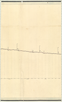
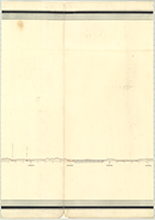
Book 21, page h "Profile of the Harrisburg & Pittsburg Rail Road. Northern Route, No. 1." Surveyed under the Direction of Charles L. Schlatter, C.E. By J. Clements Stocker, Principal Assistant Engineer, 1839. Drawn by Haden Smith. From Summit of Emigh's Gap, 1 mile to Head of Weiss' Run, 11 miles. (4 sections) |
    |
Book 21, page i "Profile of the Harrisburg & Pittsburg Rail Road, Northern Route, No. 2." Surveyed under the Direction of Charles L. Schlatter, C.E. by Haden Smith. From Elder's Run, 12 miles to A. Smith's Ridge, 24 miles. (4 sections) |
    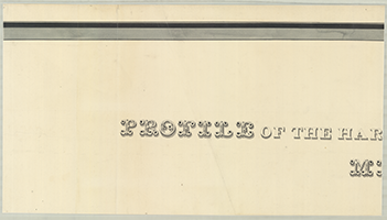            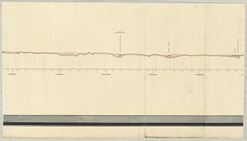    |
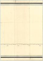
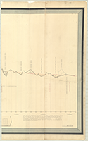
Book 21, page j "Profile of the Harrisburg and Pittsburg Rail Road, Middle Route, No. 2." As Surveyed under the Direction of Charles L. Schlatter. By J. Clements Stocker, Principal Assistant Engineer, 1840. Drawn by Haden Smith. From near Perryville, 43 miles to Mouth of Mill Creek, 90 miles. (20 sections) |
     |
Book 21, page k "Profile Exhibiting the Grades Proposed by Hother Hage in 1838, and Those by Chs. L. Schlatter in 1839, for a Portion of the Southern Route of the Harrisburg and Pittsburg Rail Road." Mr. Schlatter's line is represented with Red, and Mr. Hage's with Blue. (5 sections) |
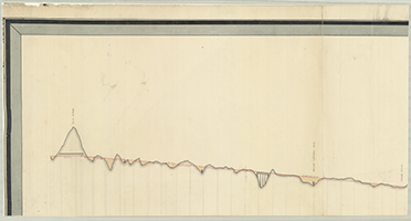    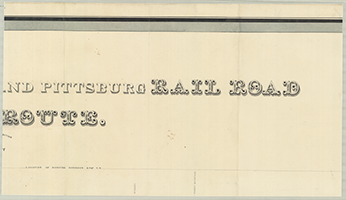       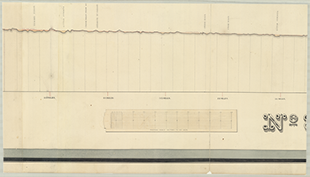 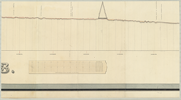 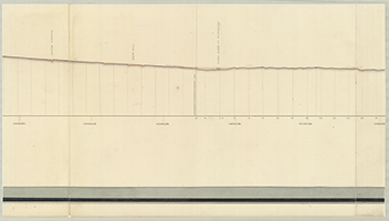 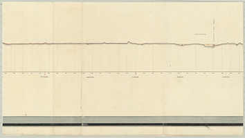  |
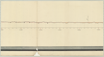
Book 21, page l "Profile of the Harrisburg and Pittsburg Rail Road, Middle Route, No. 3." As Surveyed under the Direction of Charles L. Schlatter. By S. Moylan Fox, Principal Assistant Engineer, 1840. Location of Moncure Robinson, Esqr. C. E. Drawn by Haden Smith. From Mr. Fox's Line at Mill Creek, 91 miles to Elk Ridge, 131 miles. (16 sections) |
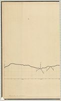 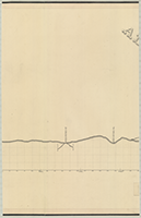 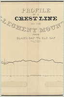   |
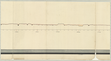
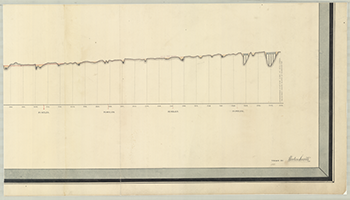
Book 21, page m "Profile of a Crest Line on the Allegheny Mountain from Blair's Gap to Elk Gap." Charles L. Schlatter, Principal Engineer. S. Moylan Fox, Princ: Asst. Engineer. Drawn by Strickland Kneass. From Sugar Gap Run, 1 mile to Elk Gap, 16 miles. (5 sections) |