Pennsylvania Canal Maps
Map Book #23
|
Please
select a map tile to view larger version (individual tiles are PDF
files, approximately 1-2 MB in size)
|
|
Book 23, page 00 Index. (1 section) |
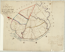 |
Book 23, page a "Map. A New County out of parts of Lancaster, Dauphin & Lebanon Counties, 1825." By J. Peelop. Shows: Number of Inhabitants and Taxables. (1 section) |
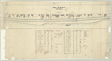 |
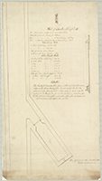
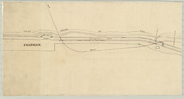
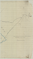
Book 23, page b "Line of Canal (through) Huntingdon," n.d. Shows: Number of lot proprietor's names, width, original depth, present depth, remarks. (1 section) |
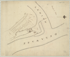 |
Book 23, page c [Map of Locks and Canal at Easton, Delware Division], n.d. Shows: Lot numbers and owners. (1 section) |
|
|
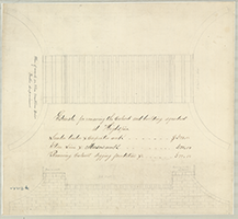
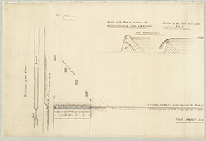
Book 23, page d "Plan of work on the Eastern Division, Foster Supervisor," n.d. (3 sections) 1. "Bill of Lumber for Dry Dock," n.d. (1 section, top) 2. "Estimate for removing the Culvert and building Aqueduct at Highspire," n.d. Shows: Berm, towing path. (1 section, middle) 3. [Dry Dock], n.d. (1 section) |
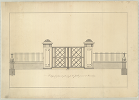 |
Book 23, page e "A design for fence and gate-way for the Public ground at Harrisburg," n.d. (1 section) |
 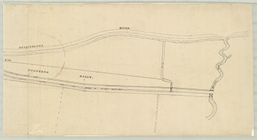 |
Book 23, page f [Proposed Basin, West Shore of Susquehanna River], n.d. (2 sections) |
  |
Book 23, page g [Plans for raising the dam at Sunbury on the Susquehanna Division], n.d. (2 sections) |
   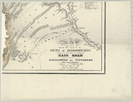 |
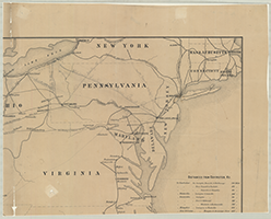
Book 23, page h "Map Exhibiting that Portion of the State of Pennsylvania Traversed by the Surveys for a continuous Rail Road from Harrisburg to Pittsburg. Made under the Direction of Charles L. Schlatter, C. E. in the Year 1839 and 1840." Drawn by Charles Cramer. Lithographed Canals in operation. (4 sections) |
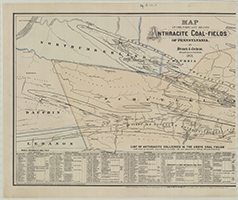 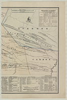 |
Book 23, page i "Map of the First and Second Anthracite Coal-Fields of Pennsylvania. By Strauch & Cochran, Mining Engineers, Pottsville, Pa., 1871." List of Anthracite Collieries in the Above Coal Fields with name of Operator, Land Owner, Locality, Ash and Shipment in 1870 by Strauch & Cochran. Distances to Market. Vignette of boy fishing. (2 sections) |
   |
Book 23, page j [Roads from Harrisburg to Philadelphia and New York], n.d. (3 sections, tracing paper) |
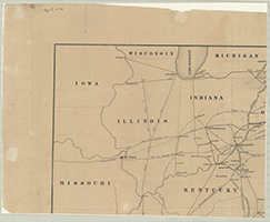   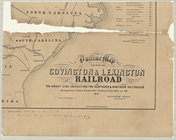 |
Book 23, page k "Outline Map Shewing the Covington & Lexington Railroad or The Great Link Connecting the Northern & Southern Railroads... 1851." Drawn by Geo. M. Clark, C. E. Sylvester Welch, Chief Engineer. Lith. by Klauprech & Menzel, Cin. John S. Gamble Prest. Canal Comr. Pa. Compliments of S. L. Greer, Agt. C. & L. R. R. Co. (4 sections) |
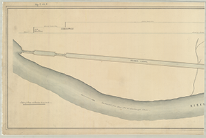 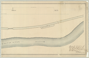 |
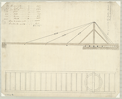
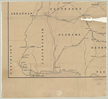
Book 23, page l "Survey, for water power of Dam No. 2, Kiskeminetas Line W.D. Pa. Canal to be used from a point above Lock No. 3 as per original Location," W. B. Foster, Jr. Civil Engineer. (2 sections) |
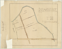 |
Book 23, page m "Plan of land-situate in the Township of Passyunk in the County of Philadelphia containing in the aggregate Ninety-three Acres & thirty six perches. The property of Penrose Ash Esq. Surveyed at his request March 28th. 1848 by -" (1 section) |
        |
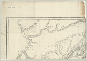
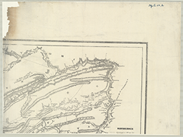
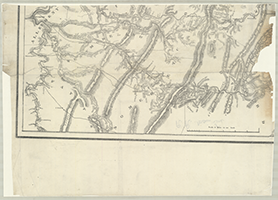
Book 23, page n [Profile of the North Branch of the Susquehanna from the New York State line to Northumberland. John Bennett, 1826]. Shows: Tunkhannock Ferry. (8 sections) |