Pennsylvania Canal Maps
Map Book #3
|
Please
select a map tile to view larger version (individual tiles are PDF
files, approximately 1-2 MB in size)
|
|
Book 03, page 00 Index. (1 section) |
|
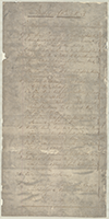
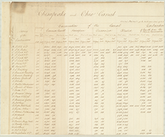
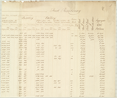
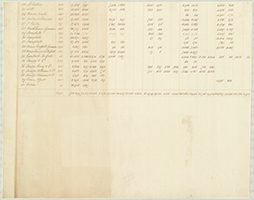
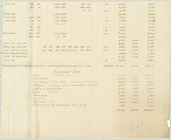
Book 03, page 01 "Chesapeake and Ohio Canal-First Residency." General Abstract of the Work executed up to 31 Dec: 1830, and as yet remaining to be executed. (4 sections) |
|
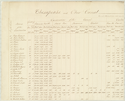
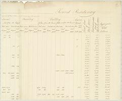
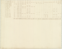
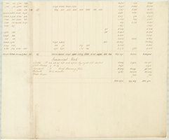
Book 03, page 02 "Chesapeake and Ohio Canal-Second Residency." General Abstract of the work executed u to 31st Decr. 1830, and yet remaining to be executed. (4 sections) |
|
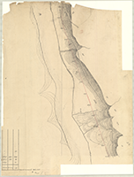
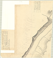
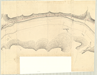
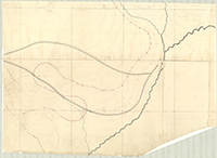
Book 03, page 03 "Field Map. Harrisburg & Pittsburg R. R. Southern Route from Pittsburg to Laughlinstown No. 1." From Station No. 19 to Station No. 122. (10 sections) |
|
|
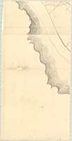
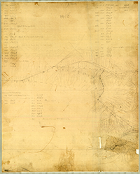
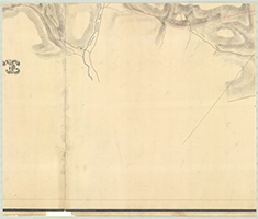
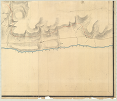
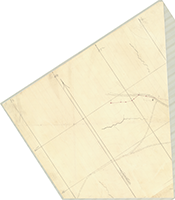
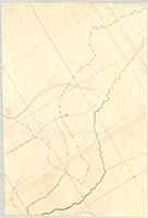
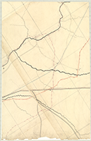
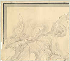
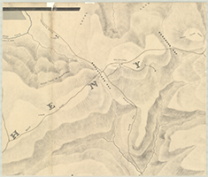
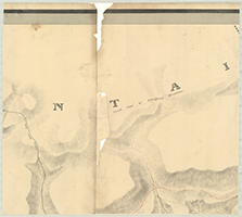
Book 03, page 04 [A pencil drawn field mp, unidentified, but probably belonging to Middle Route drawings for the proposed Harrisburg and Pittsburg Rail Road, 1838-41] Shows: Courses and distances. (4 sections) |
|
  |
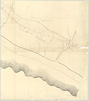
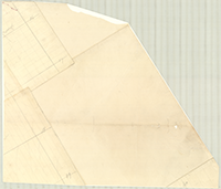
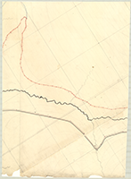
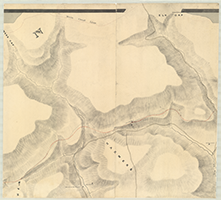
Book 03, page 05 [A pencil drawn field map, unidentified, but probably belonging to Middle Route drawings for the proposed Harrisburg and Pittburg Rail Road, 1838-41]. Shows: Courses and destances. (2 sections) |
    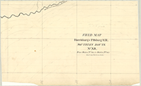  |
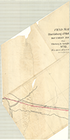
Book 03, page 06 "Field Map. Harrisburg & Pittsburg R. R. Southern Route, No. XII. From Station No. 723 1/2 to Station No. 852," n.d. (1 section) |
    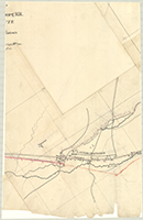     |
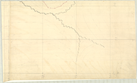
Book 03, page 07 "Field Map. Harrisburg & Pittsburg R. R. Southern Route from Pittsburg to Laughlinstown. No. XI. From Station No. 669 to Station No. 723 1/2," n.d. (9 sections) |
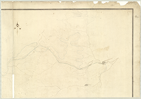   |
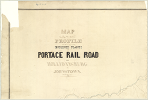
Book 03, page 08 "Map and Profile of the Routes run to avoid the Inclined Planes on the Portage Railroad from Hollidaysburg to Johnstown. Cha's De Hass, Engr., 1837. (4 sections) |
|
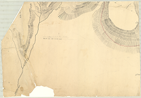
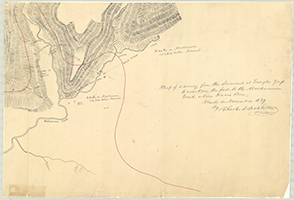
Book 03, page 09 "Map of a survey from the Summit at Emigh's Gap to ascertain the fall of the Moshannon Creek above Davis Run." Made in November 1839 by Charles L. Schlatter. (4 sections) |
|
    |
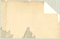
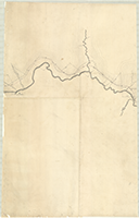
Book 03, page 10 [Map of a survey from the Summit at Emigh's Gap to ascertain the fall of the Moshannon Creek above Davis Run], n.d. In Pencil. (4 sections) |
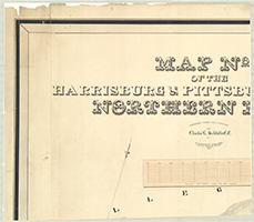 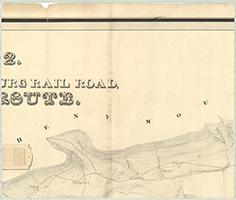 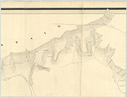 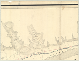       |
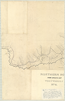
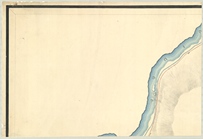
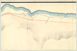
Book 03, page 11 "Map No. 2 of the Harrisburg & Pittsburg Rail Road, Northern Route." Surveyed under the Direction of Charles L. Schlatter, C. E. by J. Clements Stocker. Principal Assistant Engineer, 1839. (10 sections) |
|
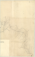
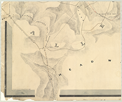
Book 03, page 12 "Northern Route From Emigh's Gap Westwardly, No. 4," n.d. (3 sections) |
|
  |
Book 03, page 13 [Office work map, possibly of construction engineer Sylvester Welch, for Sections Nos. 20-25 of the Allegheny Portage Railroad, generally eastwards along the Little Conemaugh River to Inclined Plane No. 2., c. 1831]. (2 sections) |
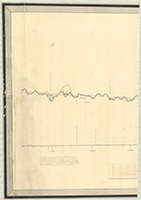 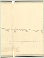 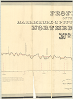 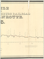 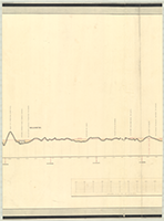 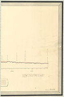 |
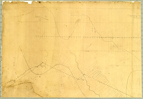
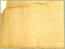
Book 03, page 14 "Profile of the Harrisburg & Pittsburg Rail Road, Northern Route. No. 3." Surveyed under the Direction of Charles L. Schlatter, C. E. By J. Clements Stocker, Principal Assistant Engineer, 1839. Drawn by Haden Smith. (6 sections) |
  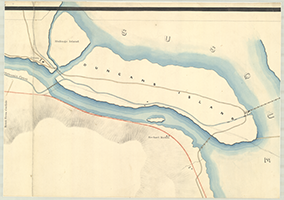  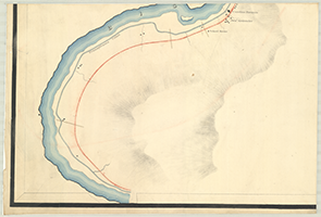 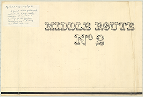  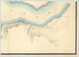 |
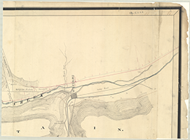
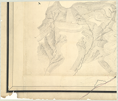
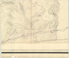
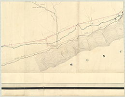
Book 03, page 15 "Middle Route. No. 2," n.d. [From above Port Lyon to near Newport, including Duncan's Island]. Shows: Grist mill, Penna. Canal, Tavern, Locks, Bridges, Duncannon, School House, Caroline Furnace. (8 sections) |
  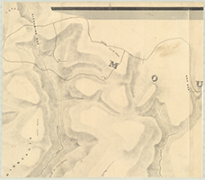   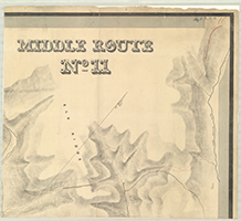      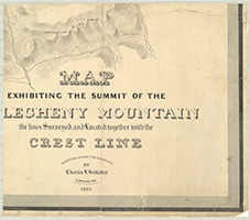 |
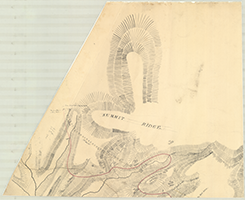
Book 03, page 16 "Middle Route. No. 11." Map Exhibiting the Summit of the Allegheny Mountain the lines Surveyed and Located together with the Crest Line. Surveyed under the Direction of Charles L. Schlatter. S. Moylan Fox, Principal Assistant, 1840. Drawn by Strickland Kneass, 1840. (12 sections) |
|
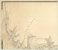
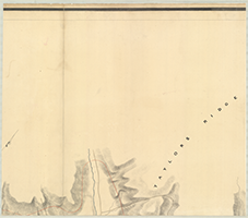
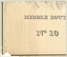
Book 03, page 17 "Middle Route No. 10." n.d. [From Near Mouth of Little Bald Eagle Creek to Bells Laurel Run]. (6 sections) |