Emerick
Overview
The Emerick site (36 So 10) was located on an eastern spur of Big Savage Mountain and excavated by a WPA crew working in the fall months of 1937. This site is located near a tributary stream to the Potomac River and may have acted as a link between the inhabitants of the Potomac River Valley and those that lived in the Upper Ohio Valley, where most Monongahela sites are located. Emerick's 26 dwellings housed 202 villagers ca. 1325 A.D. The dwellings formed five clusters with estimated numbers of residents ranging from 23 to 64 people. Overlapping dwelling patterns and dwelling patterns intersected by the palisade lines indicate rebuilding episodes. Feature types represented at the Emerick site included a possible stone-lined roasting pit, a bell-shaped pit filled with charcoal, 16 post-enclosed features, and 32 graves. Seven post-enclosed features were attached to dwellings and all but one were concentrated in the southwestern portion of the site. Graves were the most numerous feature class represented at the Emerick site.
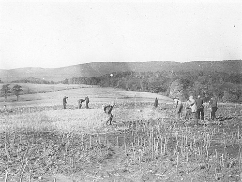
WPA field crew excavating at the Emerick site.
Site Map
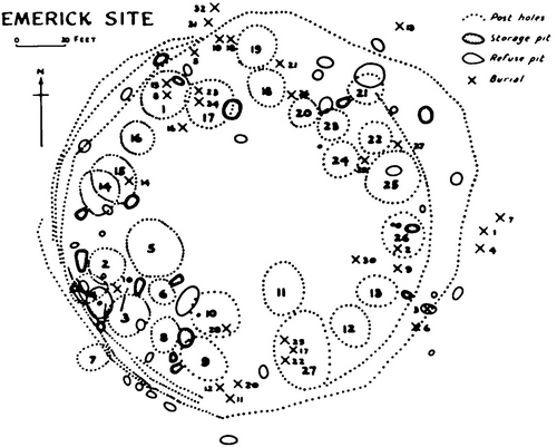
Site map of Emerick produced by Edgar Augustine in 1942.
Artifact Images
All images date to 1937. Click image for larger version.

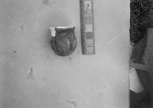
Ceramic vessel recovered
from Emerick
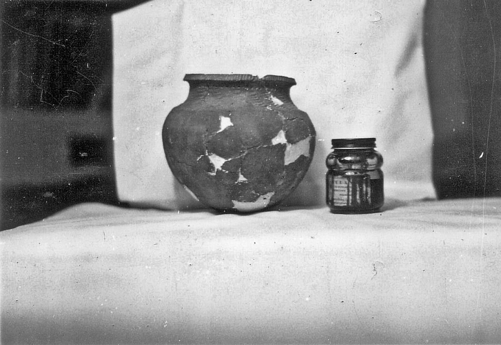
Ceramic vessel recovered
from Emerick
Ceramic vessel recovered
from Emerick
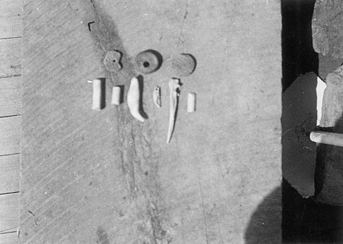
Pendants and beads
recovered from Emerick
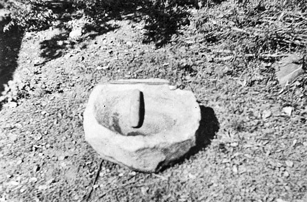
Mortar and pestle
recovered from Emerick
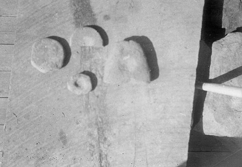
Ground stone tools
recovered from Emerick

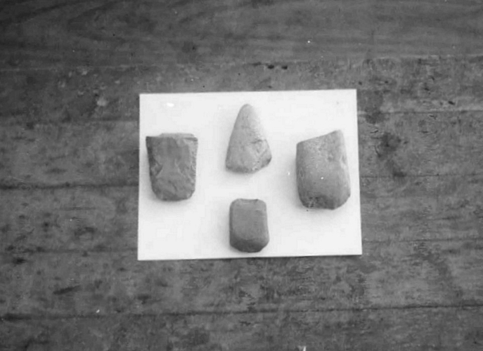
Chipped stone tools
recovered from Emerick
Ground stone tools
recovered from Emerick
Site Scenes
All images date to 1937. Click image for larger version.
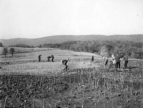
Excavating at Emerick

Excavating at Emerick
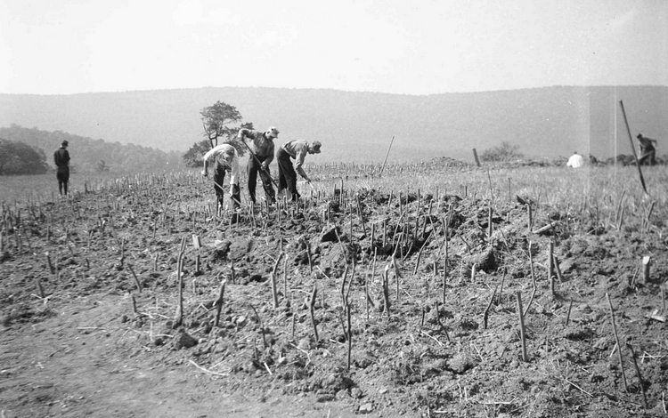
Excavating at Emerick
Excavating at Emerick
Excavating at Emerick
Excavating at Emerick
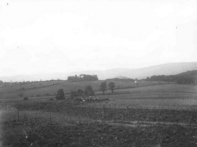
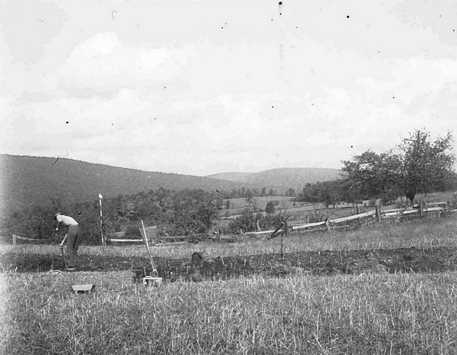
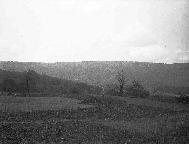
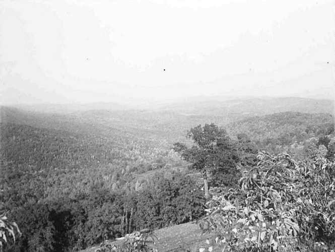
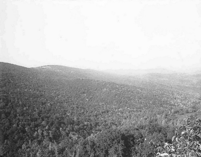
Emerick site area

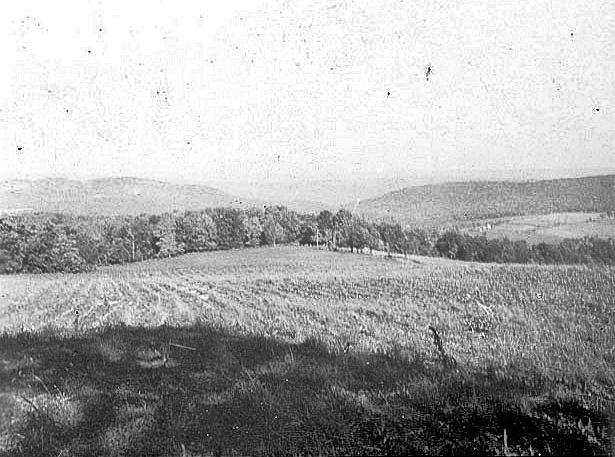
Emerick site area

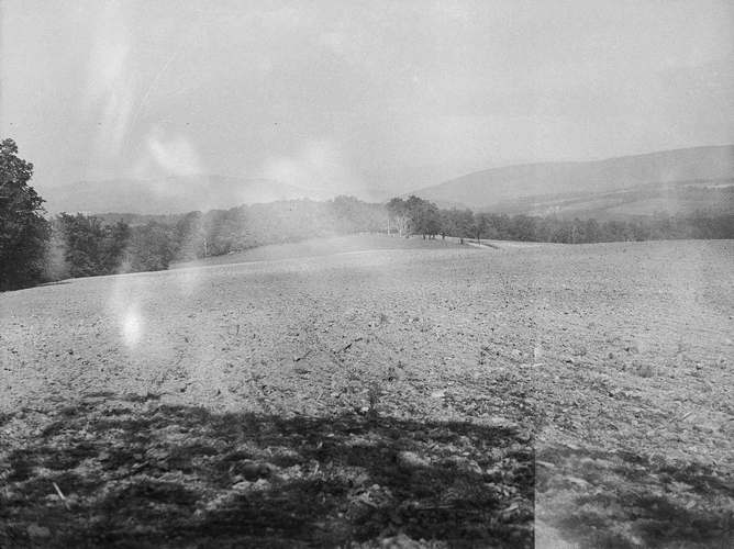
Emerick site area
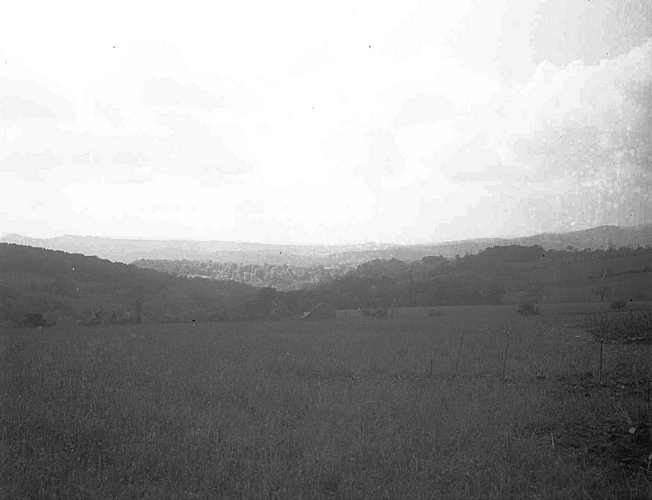
Emerick site area
Emerick site area
Emerick site area
Emerick site area
References
Augustine, Edgar
1938a Recent Discoveries in Somerset County. Pennsylvania Archaeologist 8 (1):6-12.
1938b Indian Fortifications in Somerset County. Pennsylvania Archaeologist 8 (2):41-45.
Hart, John P.
1993 Monongahela Subsistence-Settlement Change: The Late Prehistoric Period in the Lower Upper Ohio Valley. Journal of World Prehistory 7:71-120.
Means, Bernard K.
1998 Archaeological Past and Present: Field Methodology from 1930s Relief Excavations in Somerset County, Pennsylvania and its Relevance to Modern Archaeological Interpretations. Journal of Middle Atlantic Archaeology 14:39-63. Available online.
1999 Monongahela Mortuary Practices in Somerset County, Pennsylvania: Observations and Implications. Pennsylvania Archaeologist 69 (2):15-44.
2000 Toward a Model of Monongahela Village Community Organization: Analyzing Pit Feature Data Recovered from the 1934 to 1940 Somerset County Relief Excavations. North American Archaeologist 21 (1):35-61.
2005a New Dates for New Deal Excavated Monongahela Villages in Somerset County. Pennsylvania Archaeologist 75 (1):49-61.
2005b Late Woodland Villages in the Allegheny Mountains Region of Southwestern Pennsylvania: Temporal and Social Implications of New Accelerator Mass Spectrometry Dates. Uplands Archaeology in the East VII and IX, edited by Carole L. Nash and Michael B. Barber, pp. 13-23. Archeological Society of Virginia Special Publication 38-7.
2006 Circular Reasoning: Drawing on Models of Ring-shaped Village Spatial Layouts To Examine Villages in Late Prehistoric Pennsylvania. Unpublished Ph.D. dissertation, Department of Anthropology, Arizona State University, Tempe. University Microfilms, Ann Arbor.
2006b The social implications of a new method for estimating the number of residents within Monongahela houses from their floor areas. Journal of Middle Atlantic Archaeology 22: 31-50.
2007 Circular Villages of the Monongahela Tradition The University of Alabama Press, Tuscaloosa.