Powell 1
Overview
Powell 1 (36 So 11) was investigated by a WPA crew from January 31 to March 9, 1938. Erosion destroyed part of Powell 1's dwelling ring and a section of its palisade. This circular village of unknown age had at least 27 dwellings that accounted for a total village population of around 202 people. Dwellings were closer than necessary given the available settlement space and suggest that social groups in the form of multi-dwelling clusters occupied discrete segments of the village’s occupation zone. There were 13 post-enclosed features at Powell 1 of which eight were attached to dwellings. Six dwellings had one attached post-enclosed feature each, whereas one dwelling had two such features. One post-enclosed feature had a layer of charred elder twigs lining its base. Ten graves were documented at Powell 1, none of which had associated cultural remains.
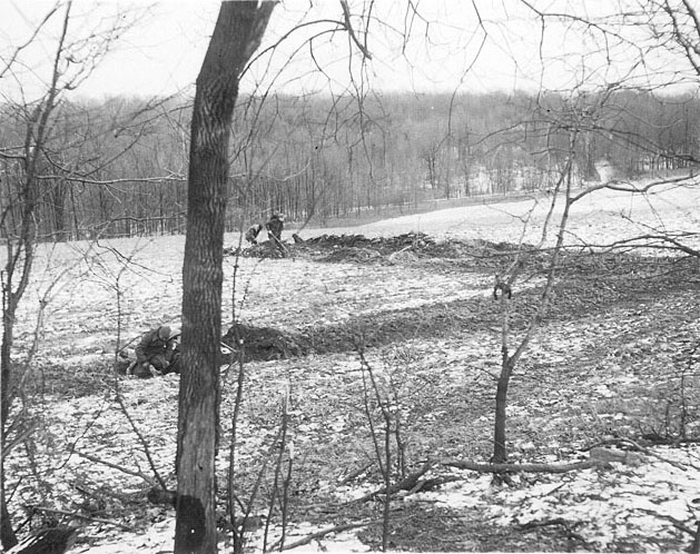
WPA field crew excavating at the Powell 1 site.
Site Map
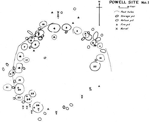
Site map of Powell 1 produced by Edgar Augustine in 1942.
Artifact Images
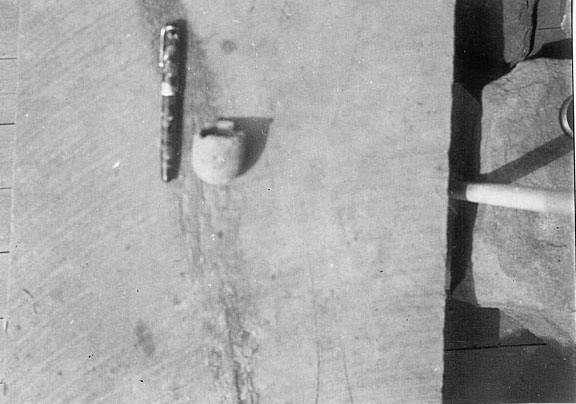
All images date to 1938. Click image for larger version.
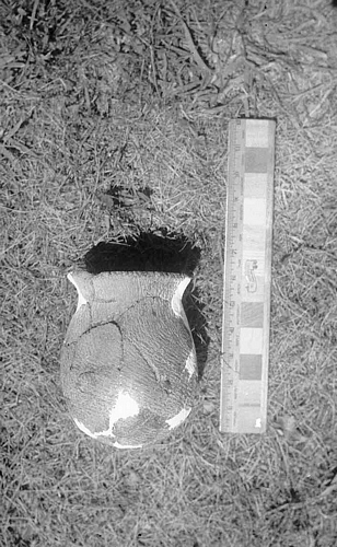
Ceramic vessel
from Powell 1
Small ceramic cup
from Powell 1
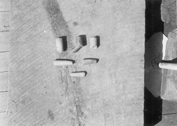
Clay tobacco pipes
and stems from Powell 1

Groundstone tools
from Powell 1
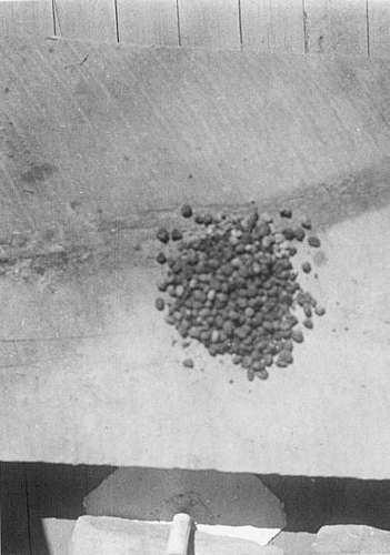
Charred corn
from Powell 1

Rim sherd drawing from
original field records
at Powell 1

Rim sherd drawing from
original field records
at Powell 1

Clay pipe bowl
drawing from original
field records at Powell 1
Site Scenes
All images date to 1938. Click image for larger version.
Sylvester Powell
examines
excavations
at Powell 1
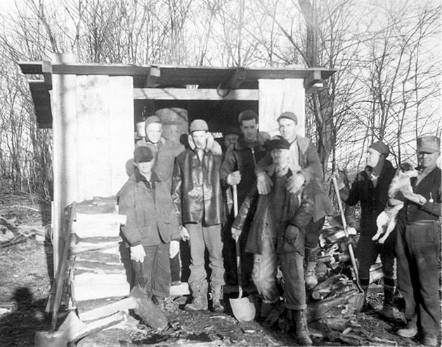
WPA crew (and dog)
at Powell 1

Excavating at Powell 1
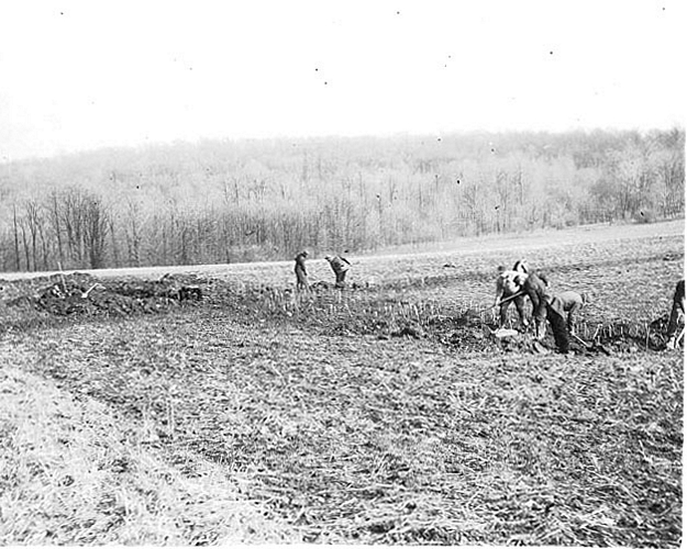
Excavating at Powell 1
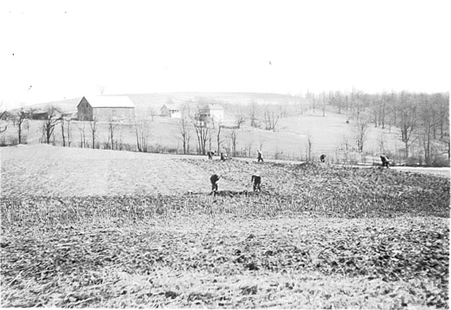
Excavating at Powell 1
Excavating at Powell 1

Excavating at Powell 1

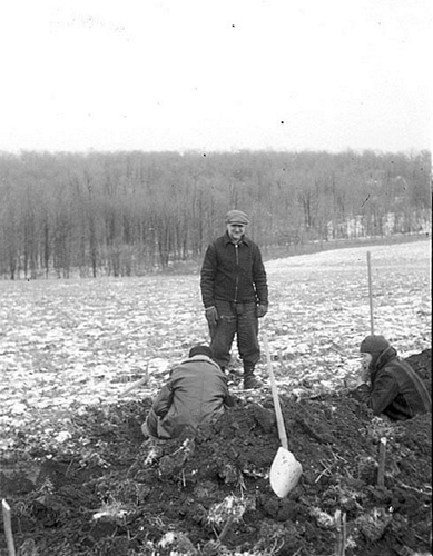
Excavating in the
winter at Powell 1

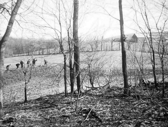
Visitors view excavations
at Powell 1
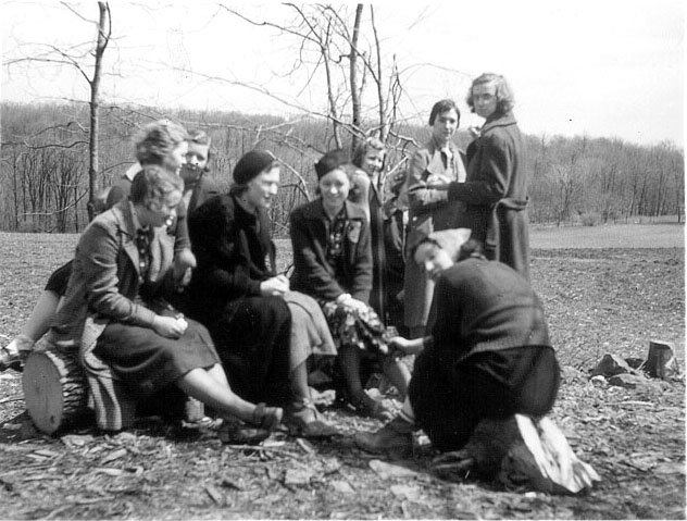
School girls visit
Powell 1
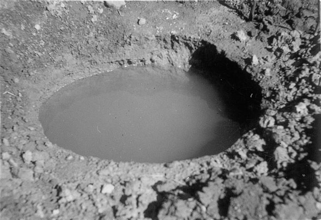
Pit feature filled
with rain water
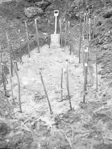
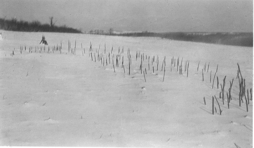
Post-lined
storage pit
with sticks
in posts
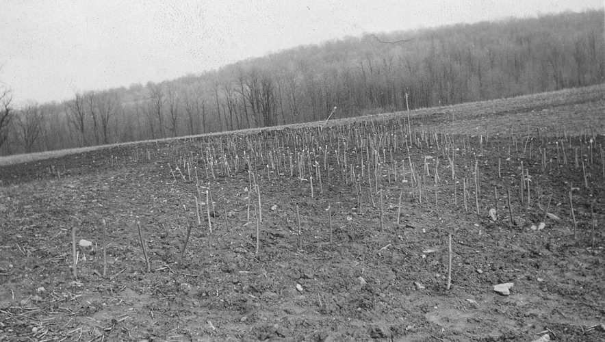
Palisade line
with sticks in posts
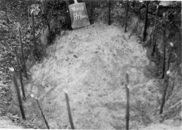
Post-lined storage
pit with sticks in posts
Excavated house with
sticks in posts during winter
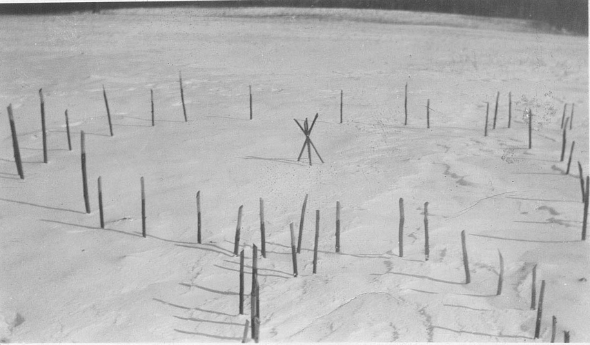
Excavated house with sticks
in posts and central
hearth during winter
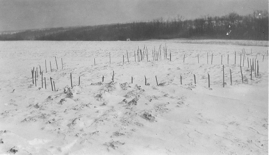
Palisade line with sticks
in posts during winter
References
Augustine, Edgar
1938 Important Research on Peck and Martz Rock Shelter Site in Somerset County. Pennsylvania Archaeologist 8 (4):83-88.
Hart, John P.
1993 Monongahela Subsistence-Settlement Change: The Late Prehistoric Period in the Lower Upper Ohio Valley. Journal of World Prehistory 7:71-120.
Means, Bernard K.
1998 Archaeological Past and Present: Field Methodology from 1930s Relief Excavations in Somerset County, Pennsylvania and its Relevance to Modern Archaeological Interpretations. Journal of Middle Atlantic Archaeology 14:39-63. Available online.
1999 Monongahela Mortuary Practices in Somerset County, Pennsylvania: Observations and Implications. Pennsylvania Archaeologist 69 (2):15-44.
2002 Revisiting Mary Butler's "Three Archaeological Sites in Somerset County, Pennsylvania" for Continuing Insights into Depression-era Archaeology in Southwestern Pennsylvania and Late Prehistoric Monongahela Social Organization. Pennsylvania Archaeologist 72 (2): 8-46.
2003 Deliver Me From Mononga-Hell: Thinking Beyond the Culture History Paradigm to Examine the Temporal and Spatial Parameters of Somerset Monongahela Village Settlements. Journal of Middle Atlantic Archaeology 19:37-58.
2006 Circular Reasoning: Drawing on Models of Ring-shaped Village Spatial Layouts To Examine Villages in Late Prehistoric Pennsylvania. Unpublished Ph.D. dissertation, Department of Anthropology, Arizona State University, Tempe. University Microfilms, Ann Arbor.
2007 Circular Villages of the Monongahela Tradition. The University of Alabama Press, Tuscaloosa.