Site Survey and Condition Assessment
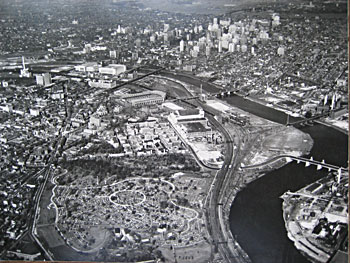
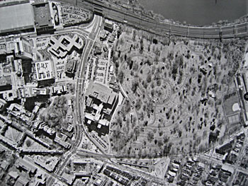
Through photographs and mapping, a survey of the physical environment should document the existing overall features of the landscape, vegetation, trees, roads, paths, waterways, fencing, walling, staircases, etc., to show the design of the site and the character of the cemetery. National Register Bulletin 41 should be consulted for direction and details. Main points are:
- general topography, including indication of the gradient (or slope) and elevation of the site in relation to the larger setting in which it is located;
- natural features such as streams, gullies, hills, and indigenous trees; naturalistic developed features such as ponds, lakes, or landforms;
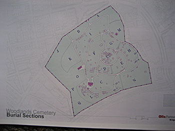
- plat, or layout of cemetery plots, whether a rigid gridiron imposed on the site or an organization of plots conforming to natural contours;
- circulation system of roads, driveways, pathways, noting whether such features have axial alignment or are winding or curving; structural features of the system, such as bridges and drainage systems; and distinctive materials, such as cobble gutters or stone paths; views and vistas within the site from principal access points; views and vistas external to the site;
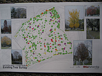
- characteristic vegetation, including the over story of trees, understudy of shrubs and grasses, exotic plant materials used as filler in burial plots, ornamental flower beds, and specimen plantings;
- gateways, fences, and hedges used for boundary and spatial definition;
- typical plot defining features such as wooden palings, iron fencing, and concrete curbing;
- prevalence of individual plot mausoleums, vaults, or above-surface tombs, and indication of the range and variety of individual grave markers;
- entrance signs, directional markers, outdoor lighting fixtures, and small-scale site furnishings such as benches, planters, ornamental sculpture, and fountains;
- maintenance and service features such as soil disposal and waste storage areas, greenhouses, tool sheds, and pump houses; and
- buildings such as churches, memorial chapels, gatehouses, offices, residences, crematories, mausoleums, and columbaria.
The survey process should begin with a base-line map of the site on which all key elements of the landscape are marked, including all added man-made features except grave markers.
If trees and vegetation are significant features of the site, create an overlay map showing these elements.
|
|
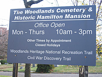 |
| Cemetery Sign |
 |
| Cemetery vegetation |
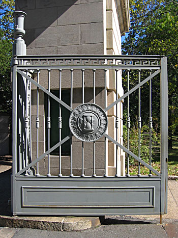 |
| Cemetery gate |