Pennsylvania Canal Maps
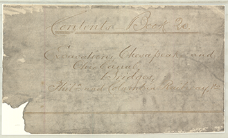
Map Book #20
|
Please
select a map tile to view larger version (individual tiles are PDF
files, approximately 1-2 MB in size)
|
|
Book 20, page 00 Index. (1 section) |
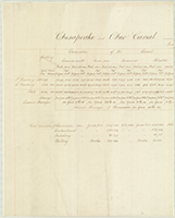 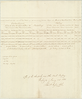 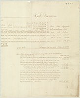 |
Book 20, page a "Chesapeake and Ohio Canal, First Division," Estimates of cost of grubbing, puddling, walling, etc. Office of the Chesapeake and Ohio Canal Company, Washington, january 1st. 1831. John P. Ingle, Clerk. (3 sections) |
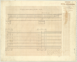 |
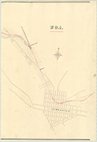
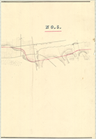
Book 20, page a-1 "Plan of Short Span of Bridge No. 102," n.d. Emley, S.G., Warford, Del. Shows: Road bridge. (1 section) |
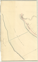    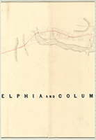 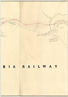  |
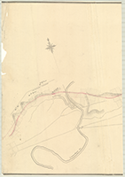
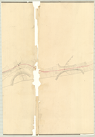
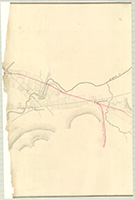
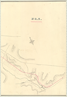
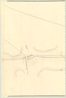
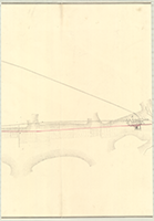
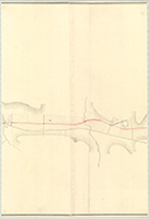
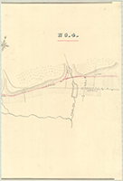
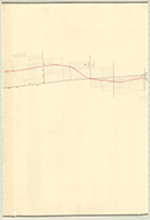
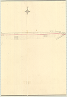
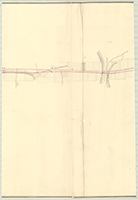
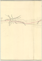
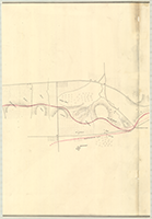
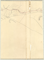
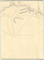
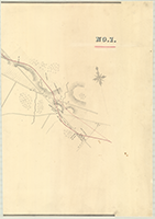
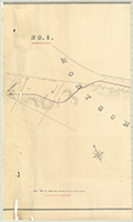
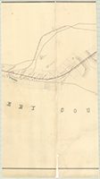
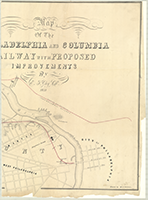
Book 20, page b-1 "Map Of The Philadelphia and Columbia Railway with Proposed Improvements By E.F. Gay, C.E., 1851." Drawn by M.C. Dunnier. [From Wrightsville, Columbia, to Lancaster], n.d. Shows: Mt. Pleasant Rohrerstown. (7 sections) |
  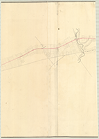   |
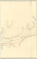
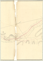
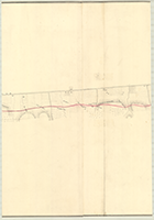
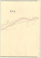
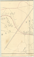
Book 20, page b-2 "Map Of The Philadelphia and Columbia Railway with Proposed Improvements By E.F. Gay, C.E., 1851." Drawn by M.C. Dunnier. [From New Holland Turnpike to Concord], n.d. Shows: Bird In Hand, Enterprise, Soudersburg. (5 sections) |
  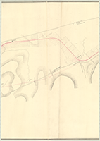   |
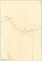
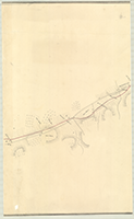
Book 20, page b-3 "Map Of The Philadelphia and Columbia Railway with Proposed Improvements By E.F. Gay, C.E., 1851." Drawn by M.C. Dunnier. [From Concord to Cape Horn], n.d. Shows: Paradise, Lemon Place, Belmont, Lime Quarries, Puddington, Gap, Christianna. (5 sections) |
     |
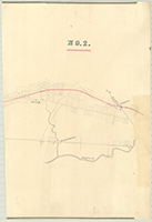
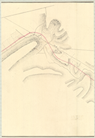
Book 20, page b-4 "Map Of The Philadelphia and Columbia Railway with Proposed Improvements By E.F. Gay, C.E., 1851." Drawn by M.C. Dunnier. [From Penningtonville to Coatesville], n.d. Shows: Parkesburg, Chandler's Station, Midway. |
     |
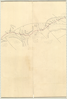
Book 20, page b-5 "Map Of The Philadelphia and Columbia Railway with Proposed Improvements By E.F. Gay, C.E., 1851." Drawn by M.C. Dunnier. [From beyond Coatesville to beyond Downingtown], n.d. Shows: Caln, Thorndale, Iron Works, Gallaherville, Valley Creek. (5 sections) |
     |
Book 20, page b-6 "Map Of The Philadelphia and Columbia Railway with Proposed Improvements By E.F. Gay, C.E., 1851." Drawn by M.C. Dunnier. [From Oakland to Paoli], n.d. Shows: Walkertown, Ship Tavern, Station, Monument, Green Tree. (5 sections) |
     |
Book 20, page b-7 "Map Of The Philadelphia and Columbia Railway with Proposed Improvements By E.F. Gay, C.E., 1851." Drawn by M.C. Dunnier. [From Holland Miller's to Whitehall], n.d. Shows: Rusiville, Spring House Tavern, Eagle, Siterville, Morgan's Corner, Villenore School House. (5 sections) |
   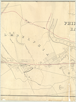  |
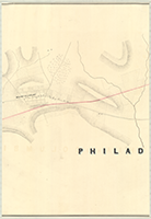
Book 20, page b-8 "Map Of The Philadelphia and Columbia Railway with Proposed Improvements By E.F. Gay, C.E., 1851." Drawn by M.C. Dunnier. [From Whitehall to City of Philadelphia], n.d. Shows: Meeting House, Athens, Inclined Plane, R. R. to avoid Inclined Plane, Haddington, Lancaster Pike, Hestonville, Monroeville, Cotton Factory, Penna. Hospital, Monument Road, Olive Cemetery, Spring Garden Water Works, Bingham's Estate, Engine House, Fairmount. (5 sections) |