Maps
Maps are an extremely valuable resource for understanding agricultural information. Maps can provide information on numbers as well as ages of historic farms and farmsteads in an area, and can also be used to take a look at larger trends across and between counties and the rest of the commonwealth. The census maps were created from original agricultural census manuscripts, compiled down to the township level and mapped.
Pages in this Section
- 1850 Census Maps
- 1880 Census Maps
- 1927 Census Maps
- Other Resources - additional sources to find historic maps and aerial photographs
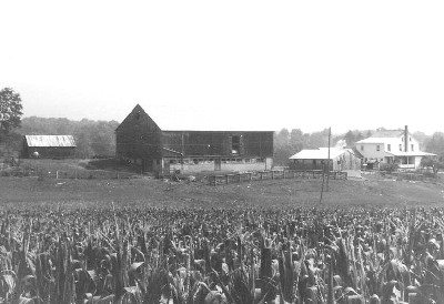
Hawn-Hooley Farmstead, Armagh Township, Mifflin County