Other Resources
Historic Maps
Websites exist which have posted historic USGS topographic maps that can be found by town name as well as by quadrant.
The Pennsylvania State Archives also keeps historic survey records and warrant registers. These records can be extremely helpful, and can be found at the Land Records section of the State Archives.
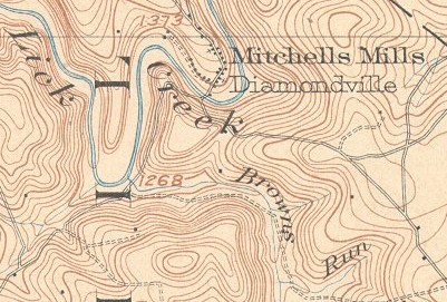
Portion of the Southwest section of the
Barnesboro Quadrangle in PA.
Surveyed in 1902 and printed in 1904.
Aerial Photographs
Browse historic aerials through the Penn Pilot Project, which is provided by Pennsylvania State University, DCNR, and the Pennsylvania Historical and Museum Commission. The photos date from 1937-1970, and are available for download as needed. For more information, please read the instructions at the Penn Pilot website.
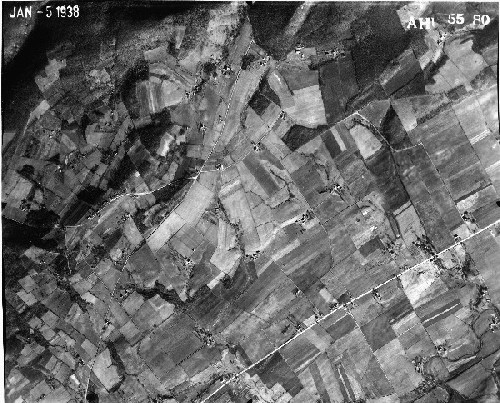
Aerial of Hellam Township, York County in 1938