Fort Hill
Overview
Situated atop a flat, mesa-like hill located near Confluence, the Fort Hill site (36 So 2) consisted of two overlapping village components. Freshwater springs on the eastern and western slopes of the mesa-like hill would have provided Fort Hill's Monongahela inhabitants with ready sources of water for drinking, cooking, bathing, and to maintain small garden plots. A WPA field crew excavated this site in 1939 and 1940. The smaller component, Fort Hill I, dated to ca 1275 A.D. and 202 peopled lived in its 34 dwellings. Crowding apparently led the villagers at Fort Hill I to expand their settlement into the much larger Fort Hill II, where approximately 270 people inhabited 35 dwellings around A.D. 1300. The central post around which Fort Hill I's inhabitants initially performed ceremonies and rituals was moved to remain central to the village's plaza, as that plaza shrunk. The relocated central post then became the central point around which Fort Hill II was designed.
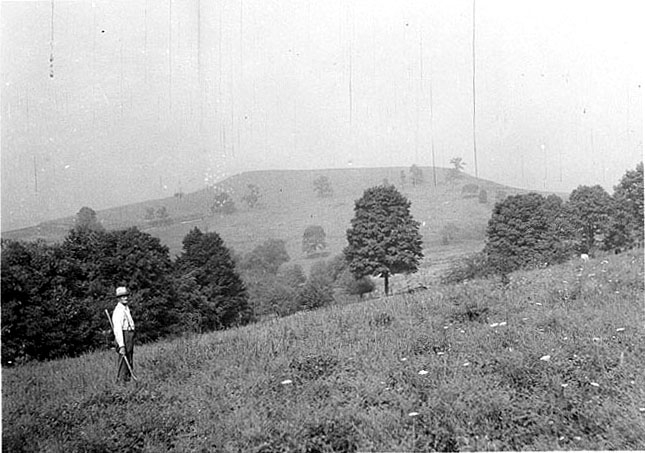
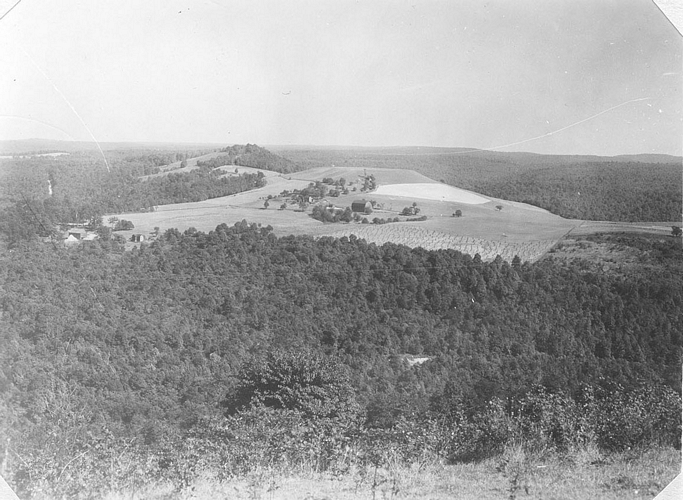
A farmer stands in the foreground and the
mesa-like Fort Hill is visible in the distance.
Site Maps
Click image for larger version.
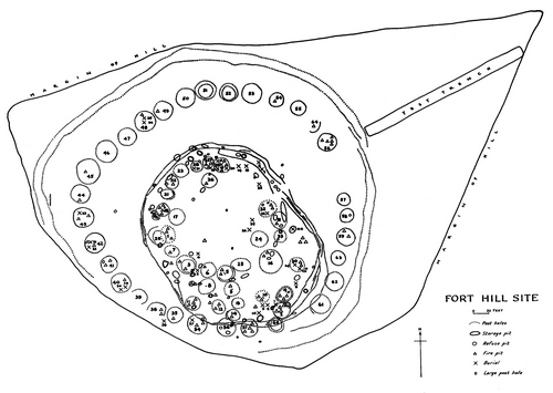
Site map of Fort Hill produced by Edgar Augustine
in 1942. Fort Hill I is the smaller oval
occupation located within Fort Hill II's plaza.
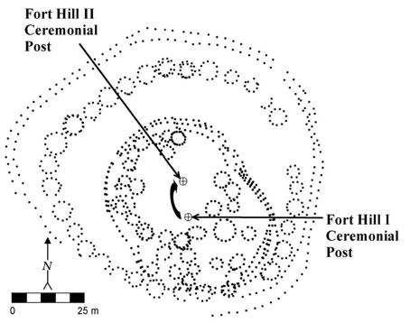
Map of Fort Hill showing location of central
posts. Fort Hill I's post was moved as dwellings
encroached on the plaza and then the relocated
post was used as the central post around
which Fort Hill II was designed.
Artifact Images
Images marked with a (*) date to 1939 or 1940. Click image for larger version.
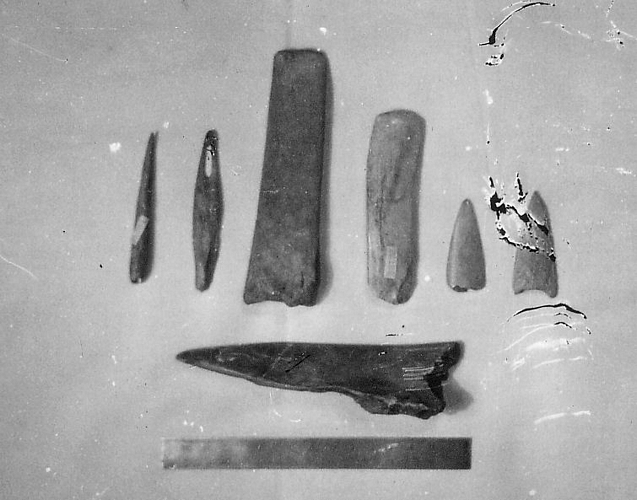
Bone tools
from Fort Hill (*)
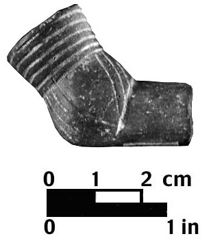
Ceramic tobacco
pipe from
Fort Hill
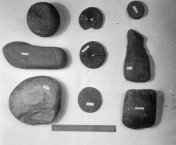
Stone tools from
Fort Hill (*)
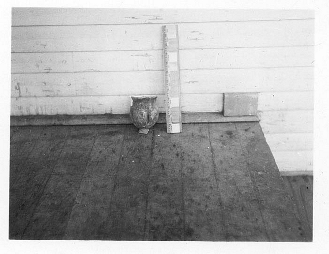
Ceramic vessel
from Fort Hill (*)
Site Scenes
Images indicated by a (*) date to 1938. Click image for larger version.
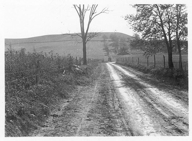
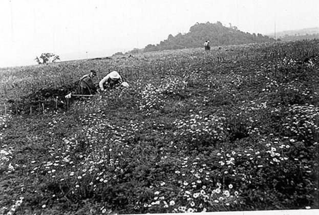
On the road to Fort Hill
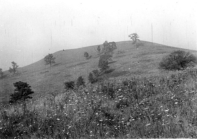
Another view of Fort Hill
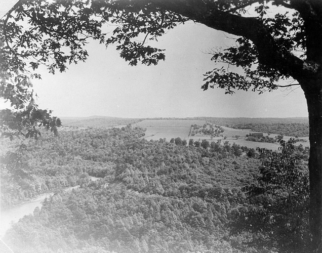
Fort Hill and
its surroundings
Fort Hill and
its surroundings

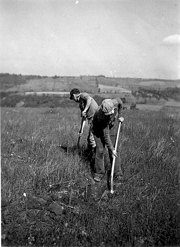
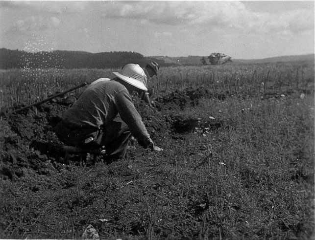
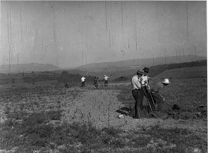
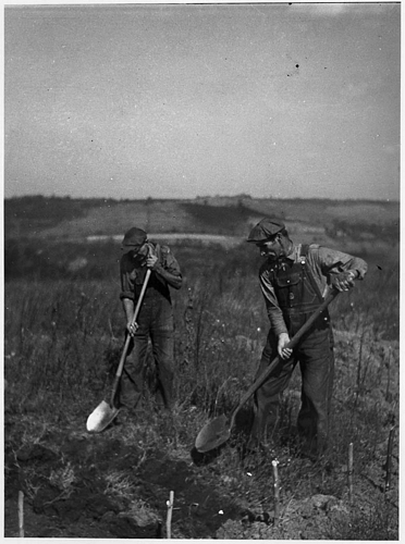
Excavating
at Fort Hill
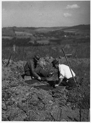
Excavating
at Fort Hill
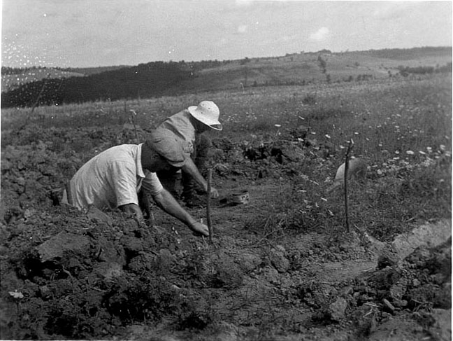
Excavating at Fort Hill
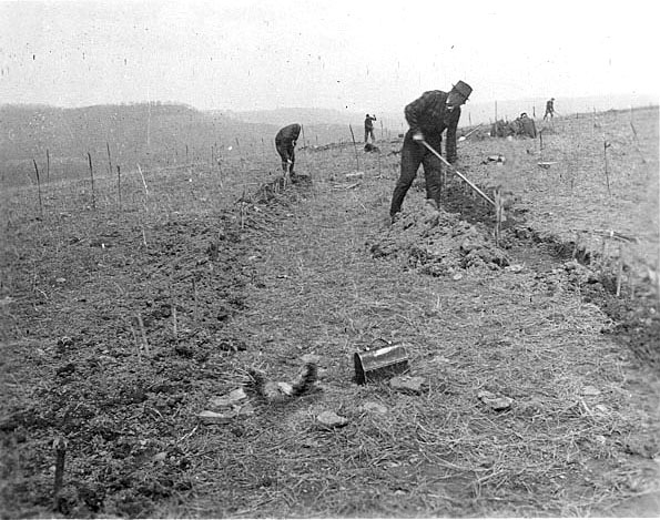
Excavating at Fort Hill
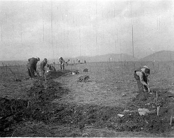
Excavating at Fort Hill
Excavating at Fort Hill
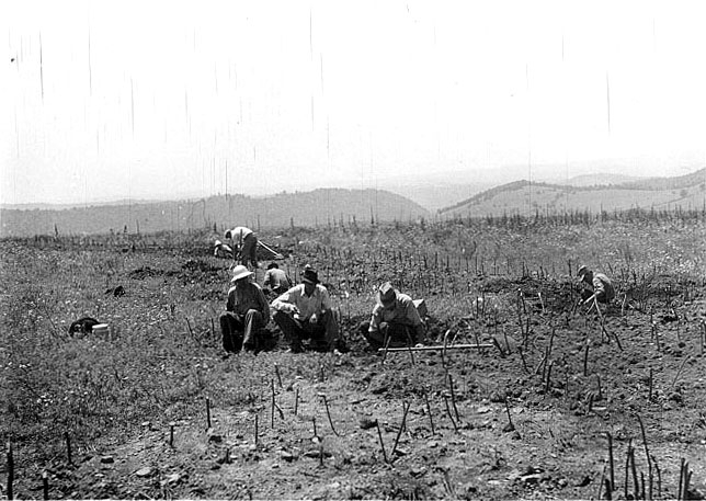
Excavating at Fort Hill
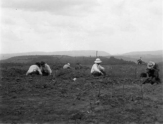
Excavating at Fort Hill
Excavating at Fort Hill
Excavating at Fort Hill
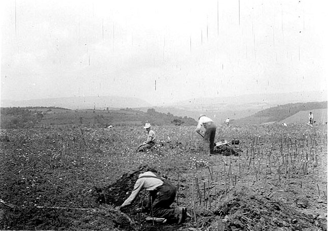
Excavating at Fort Hill

Excavating at Fort Hill
Excavating at Fort Hill
Excavating
at Fort Hill
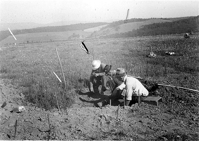
Excavating at Fort Hill
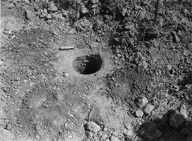
Unusually large
posthole at Fort Hill
Excavating
at Fort Hill
Excavating
at Fort Hill

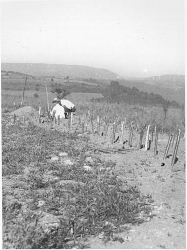
Large and small
palisade postholes
at Fort Hill

Double row of
house postholes
at Fort Hill

Pit 43 with
large vessel
fragment at
Fort Hill

Centrally located
and stone-lined
posthole at
Fort Hill

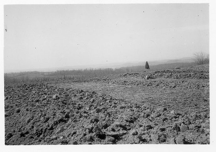
Winter at Fort Hill. Sticks
were used to show
posthole locations

A reconstructed dwelling
at Fort Hill
References
Augustine, Edgar
1938 Important Research on Peck and Martz Rock Shelter Site in Somerset County. Pennsylvania Archaeologist 8 (4):83-88.
Hart, John P.
1993 Monongahela Subsistence-Settlement Change: The Late Prehistoric Period in the Lower Upper Ohio Valley. Journal of World Prehistory 7:71-120.
Means, Bernard K.
1998 Archaeological Past and Present: Field Methodology from 1930s Relief Excavations in Somerset County, Pennsylvania and its Relevance to Modern Archaeological Interpretations. Journal of Middle Atlantic Archaeology 14:39-63. Available online.
1999 Monongahela Mortuary Practices in Somerset County, Pennsylvania: Observations and Implications. Pennsylvania Archaeologist 69 (2):15-44.
2000 Mapping a New Future for the Past: Further Insights into Depression-era Archaeological Excavations in Southwestern Pennsylvania. Journal of Middle Atlantic Archaeology 16:155-166.
2001 Circular Reasoning: Ring-shaped Village Settlements in Late Prehistoric Southwestern Pennsylvania and Beyond. Journal of Middle Atlantic Archaeology 17:109-131.
2002 "....To Reconstruct These Houses of Men Who Lived in a Stone Age:" Modeling Village Community Organization Using Data from the Somerset County Relief Excavations. In Northeast Subsistence-Settlement Change: A.D. 700 - A.D. 1300, edited by John P. Hart and Christina Rieth, pp. 43-71. New York State Museum Bulletin 496. The University of the State of New York, Albany.
2005a New Dates for New Deal Excavated Monongahela Villages in Somerset County. Pennsylvania Archaeologist 75 (1):49-61.
2005b Late Woodland Villages in the Allegheny Mountains Region of Southwestern Pennsylvania: Temporal and Social Implications of New Accelerator Mass Spectrometry Dates. Uplands Archaeology in the East VII and IX, edited by Carole L. Nash and Michael B. Barber, pp. 13-23. Archeological Society of Virginia Special Publication 38-7.
2006a Circular Reasoning: Drawing on Models of Ring-shaped Village Spatial Layouts To Examine Villages in Late Prehistoric Pennsylvania. Unpublished Ph.D. dissertation, Department of Anthropology, Arizona State University, Tempe. University Microfilms, Ann Arbor.
2006b The social implications of a new method for estimating the number of residents within Monongahela houses from their floor areas. Journal of Middle Atlantic Archaeology 22: 31-50.
2007 Circular Villages of the Monongahela Tradition. The University of Alabama Press, Tuscaloosa.