PA State Archives Hours, Directions, & Fees Research Topics Online Catalog Land Records


Pennsylvania Historical and Museum Commission
Pennsylvania State Archives


RG-17
Records of the Land Office
Series 452: Records of the Board of Canal Commissioners

Map Books, 1810-1881


View Canal Maps


The Pennsylvania Canal, a mostly forgotten piece of history, was at one time a significant component of the Commonwealth's economy and an essential mode of transportation throughout the interior of the State. Spurred onward by competition from New York and the forward-thinking imagination of Pennsylvanian leaders, merchants and industrialists, the Pennsylvania Main Line was in existence for nearly seven decades before falling into disuse and abandonment starting in the latter half of the nineteenth century.

In 1817 the State of New York began a revolutionary project to connect its eastern ports and the Hudson River with Lake Erie and Buffalo in the West. The Erie Canal heightened the fears among many Pennsylvania merchants that with the new canal system, New York would become even more prosperous and appealing and would threaten commerce in Philadelphia. Pennsylvania responded by building the Pennsylvania Main Line Canal which connected Philadelphia in the east, ascending the Alleghenies in the interior, to Pittsburgh in the west via the "Main Line of Public Works," an elaborate, integrated canal-inclined plane-railroad system. This enormous undertaking was completed in several sections, requiring a substantial investment of capital from the Commonwealth. By 1834, after decades of planning and construction, the canal was in use transporting millions of pounds of goods along its scenic routes throughout the State.

Using waterways as a mode of transportation was not a new idea; in fact, William Penn had proposed using them when he arranged a survey of the Philadelphia region for settlement purposes. Furthermore, Philadelphia's location was partially chosen because of its proximity to native rivers, viz. the Delaware and the Schuylkill. Prior to construction of the Pennsylvania Main Line Canal smaller companies had already built an ever-increasingly intricate system of canals throughout the state, but most only connected relatively local waterways. The Main Line connected the east to the west, allowing goods from the ports in Philadelphia to be easily distributed throughout the State and to travel as far as Pittsburgh.

Taking into consideration the routes of more westerly states and their tendencies to bypass the Philadelphia waterways en route to the harbors in New York and Baltimore, Pennsylvania assemblymen had to act in such a way as to enable Pennsylvanian goods to reach other markets and encourage merchants to bring their goods through Philadelphia into Pennsylvania. At the same time, legislators had to be sure that they were taking into account what would be most advantageous to the interior counties who largely depended on their electorates. The solution came in the form of three acts of legislation between 1824 and 1826. With the first Act of 27 March 1824, Governor Andrew Shulze appointed the first three Pennsylvania Canal Commissioners, whose job it was to scour the Commonwealth's landscape for a viable canal route connecting Lancaster and Chester Counties to Pittsburgh in the east.

The second Act, implemented on 11 April 1825, increased the number of canal commissioners from three to five. With this act activity progressed. The commissioners were instructed to hire a paid secretary, choose a president from among themselves, and begin all necessary steps toward the establishment of "a navigable communication between the eastern and the western waters of the state and Lake Erie." The commission also appointed engineers, surveyors, draftsmen, and other personnel to aid them in examining several waterways and proposed routes. The third Act of 25 February 1826 officially sparked "the commencement of a canal to be constructed at the expense of the state and to be styled The Pennsylvania Canal." With this act the commissioners were finally able to begin construction on the canal at several points along the line. Later that year the number of commissioners also increased from five to nine, all of whom were directly appointed by the governor and dedicated to the project.

Of course, the construction of the Main Line Canal was not without difficulty. Obstacles were encountered throughout its construction due to the Commonwealth's rugged terrain and rivers. To overcome the changes in elevation along the line a complex array of locks and gates was constructed, similar to those already in use by the English and elsewhere in the United States. A standard lift-lock had gates that opened on either end, upstream. When a boat approached, a gate swung open and drained water to the level of the water on which the boat was floating. The gate then closed and the lower gate opened to allow the boat to enter, and then closed behind it. The water was then raised to the level of the water in front of the upper gate and the gate would open, freeing the boat at the higher level. Creeks and other waterways that presented obstacles were bridged via aqueducts and culverts. To maintain an adequate supply of water to the canal numerous dams were constructed on the rivers feeding into it. In areas where there were great distances between two lift-locks, stop-locks were constructed to halt the flow of water so that sections could be drained for maintenance to keep the canal operable.

For nearly two decades the commissioners maintained their positions in charge of the canals and its accompanying railroads, but by an act of legislation in 1843 the number of commissioners fell to only three, all being elected by the direct vote of the people. Not long after, the state washed its hands of the Main Line and sold it during the years of 1857 and 1858.

By the end of the nineteenth century canals had been mostly displaced by the railroads. Many of them were bought out by railroad companies and fell into disrepair. As they expanded, the cost of maintaining both the rail lines and the canals became far too great. Millions of dollars were spent on maintenance for the lift-locks, aqueducts, feeders, dams, bridges, and workmen's wages. The beginning of the end for the canals came with the widespread use and increased manufacturing of steam locomotives beginning in the late 1830s. Increasingly efficient locomotives, which boasted greater travel speeds than the animal-drawn barges and much a shorter length of travel over more direct routes, took much of the trade from the canals; by 1890 all but approximately 144 miles of Pennsylvania's canals were abandoned and left to succumb to the forces of nature.

The Pennsylvania Canal was once one of the most impressive and intricate networks of its kind in the United States; in its heyday it was integral to both intrastate and interstate commerce. With crude nineteenth century pick axes and tools Pennsylvanians labored tirelessly to complete approximately 1,250 miles of canal waterways. Today very few remnants of the canals remain, however if one is willing to trek off the beaten path and knows where to look the remains of old gates and lock houses can still be found, the remaining vestiges of a once prosperous pioneering transportation network that opened up Pennsylvania's native industries and commerce to the world.

Arranged sequentially by map book number and indexed internally, these map books were prepared by engineers at the request of the Commissioners for the purpose of illustrating routes for the various divisions of the canal system or to illustrate the final layout after construction. A few of these show routes as they were finally laid out and operated and are primarily preliminary plans. In addition to providing overall layouts for how the finished canals were intended to look, they also contain numerous drawings of dams, raft chutes, feeders, reservoirs, locks, lock gates, lock houses, aqueducts, towing path bridges, and waste weirs illustrating how the system was intended to work.


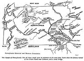
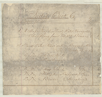
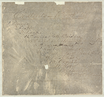
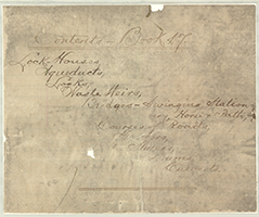
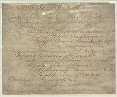
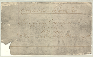
Click the following link to view the Canal Map Book Reference Guide.

The map books are for the most part unindexed. If searching for a specific place name, canal, region, topic, etc., use the Reference Guide to search for a particular topic (ctrl+F) or simply browse through the guide to see the contents of each book.


Search for drawings by map book number:
**Map Books 01-27 are scanned and accessible below; Map Books 28-52 will be added later.**

1

2

3

4

5

6

7

8

9

10

11

12

13

14

15

16

17

18

19

20

21

22

23

24

25

26

27

28

29

30

31

32

34

35

36

37

39

40

41

42

43

44

45

46

47

48

49

50

51

52


Map Book #1: 1829-1844. pp. 00-33

Back to Top

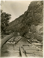
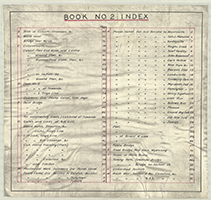
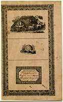
Map Book #2: 1836-1838. pp. 00-59

Back to Top


Map Book #3: 1830-1841. pp. 00-17

Back to Top


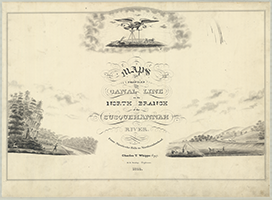
Map Book #4: 1824-1866. pp. 00-20

Back to Top

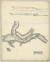
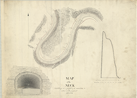
Map Book #5: 1828. pp. 00-31

Back to Top

Map Book #6: 1828. pp. 00-07

Back to Top

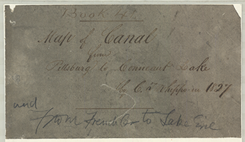
Map Book #7: 1827-1855. pp. 00-28

Back to Top

Map Book #8: n.d. pp. 00-22

Back to Top

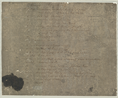
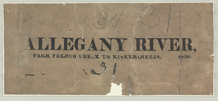
Map Book #9: 1826. pp. 00-23

Back to Top

Map Book #10: n.d. pp. 00-36

Back to Top

Map Book #11: 1839-1841. pp. 00-37

Back to Top

Map Book #12: 1826-1827. pp. 00-22

Back to Top

Map Book #13: 1826-1866. pp. 00-06

Back to Top

Map Book #14: 1881, n.d. pp. 00-02

Back to Top

Map Book #15: n.d. pp. 00-19

Back to Top

Map Book #16: 1831-1855. pp. 00-E

Back to Top

Map Book #17: n.d. pp. 00 - c-2

Back to Top

Map Book #18: 1836-1846. pp. 00 - c-1

Back to Top

Map Book #19: 1824-1840. pp. 00 - k-8

Back to Top

Map Book #20: 1839-1840. pp. 00 - b-8

Back to Top

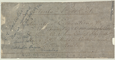
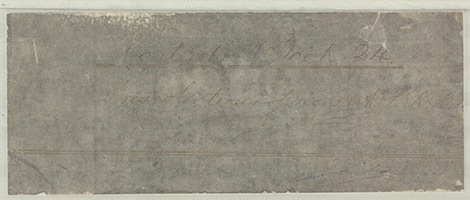
Map Book #21: 1826, 1839-1840. pp. 00-m

Back to Top

Map Book #22: 1827. pp. 00 - a-12

Back to Top

Map Book #23: 1825-1871. pp. 00-n

Back to Top

Map Book #24: n.d. pp. 00-111

Back to Top

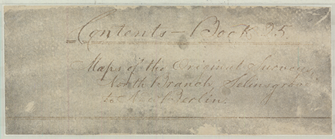
Map Book #25:1830-1831. pp. 00-d

Back to Top

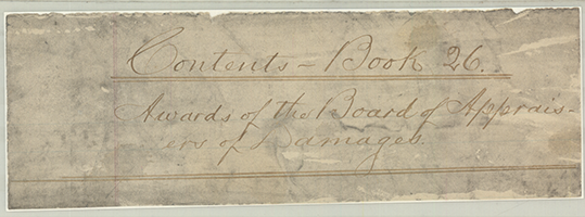
Map Book #26:1827-1835. pp. [not numbered]

Back to Top

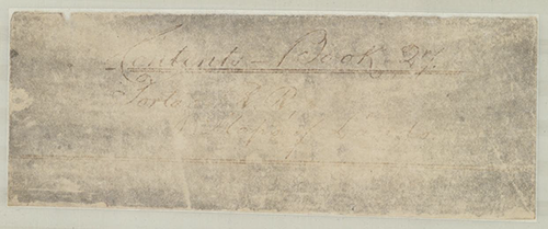
Map Book #27: n.d. pp. 00-No. 38; a-c

Back to Top

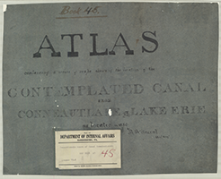
Map Book #28: n.d. pp. 00-26 NOT AVAILABLE ONLINE

Back to Top

Map Book #29: 1826-1833. pp. 00 - e' NOT AVAILABLE ONLINE

Back to Top

Map Book #30: 1836. pp. 00-29 NOT AVAILABLE ONLINE

Back to Top

Map Book #31: 1826. pp. [not numbered] NOT AVAILABLE ONLINE

Back to Top

Map Book #32: 1840-1878. pp. No. 1-No. 13 NOT AVAILABLE ONLINE

Back to Top

Map Book #34: 1828. pp. 01-18 NOT AVAILABLE ONLINE

Back to Top

Map Book #35: 1828. pp. 1st Sheet-XIXth Sheet NOT AVAILABLE ONLINE

Back to Top

Map Book #36: 1836-1838. pp. [not numbered]-No. 17 NOT AVAILABLE ONLINE

Back to Top

Map Book #37: 1810-1855. pp. [not numbered] NOT AVAILABLE ONLINE

Back to Top

Map Book #39: 1839, 1846, 1855. pp. a-g NOT AVAILABLE ONLINE

Back to Top

Map Book #40: 1828. pp. 01-03 NOT AVAILABLE ONLINE

Back to Top

Map Book #41: 1827. pp. 00-c NOT AVAILABLE ONLINE

Back to Top

Map Book #42: 1828-1857. pp. [not numbered] NOT AVAILABLE ONLINE

Back to Top

Map Book #43: 1826-1851. pp. 00-39 NOT AVAILABLE ONLINE

Back to Top

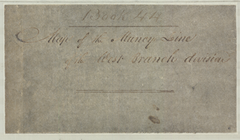
Map Book #44: n.d. pp. 00-No. 8 NOT AVAILABLE ONLINE

Back to Top

Map Book #45: 1830. pp. 00-07 NOT AVAILABLE ONLINE

Back to Top

Map Book #46: n.d. pp. Title Page Only (missing) NOT AVAILABLE ONLINE

Back to Top

Map Book #47: n.d. pp. Section XXXIX - Sections LXXVI & LXXVII NOT AVAILABLE ONLINE

Back to Top

Map Book #48: 1827-1828. pp. 01-21 NOT AVAILABLE ONLINE

Back to Top

Map Book #49: 1841. pp. 01-21 NOT AVAILABLE ONLINE

Back to Top

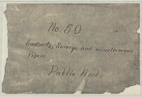
Map Book #50: 1836-1859. pp. 00-114 NOT AVAILABLE ONLINE

Back to Top

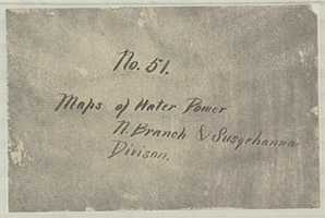
Map Book #51: 1841-1842. pp. [not numbered] NOT AVAILABLE ONLINE

Back to Top

Map Book #52: 1841. pp. a-d NOT AVAILABLE ONLINE

Back to Top


PA State Archives Hours, Directions, & Fees Research Topics Online Catalog Land Records